

GNSS RTK Receivers with Laser – Surveying Equipment and Complete Kits
GNSS RTK receivers with an integrated laser rangefinder represent the next generation of surveying equipment, significantly expanding the capabilities of traditional RTK surveying. These devices make it possible to determine the coordinates of points that are difficult or unsafe to access directly, greatly increasing field productivity while improving operator safety.
Unlike conventional GNSS RTK receivers, laser-equipped models can measure building façades, structure corners, walls, roofs, fences, bridge components, road infrastructure, utility poles, power transmission lines, and objects located behind fences, bodies of water, or other natural obstacles. This makes them especially effective for topographic surveying, cadastral work, construction, road engineering, engineering surveys, and infrastructure inspections.
The integrated laser rangefinder allows users to capture the coordinates of a target point without placing a survey pole directly on the object. This saves time, reduces unnecessary movement in the field, and significantly improves overall surveying efficiency.
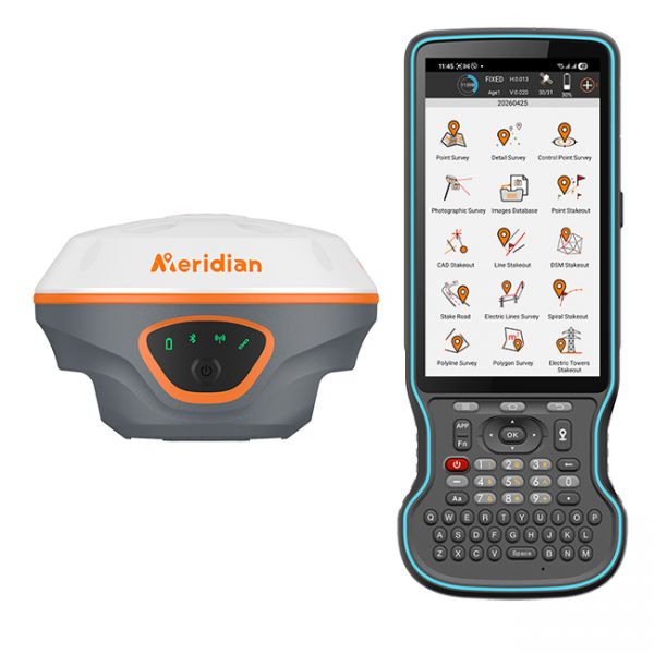
Meridian M20L KIT is a complete professional GNSS RTK equipment kit designed for surveying, cadastral work, construction, topographic surveying, and engineering measurements. The kit combines the advanced Meridian M20L laser GNSS RTK receiver, professional M-Survey software for Android, the rugged professional Y55 controller, and a carbon fiber survey pole for maximum comfort and efficiency in field operations.
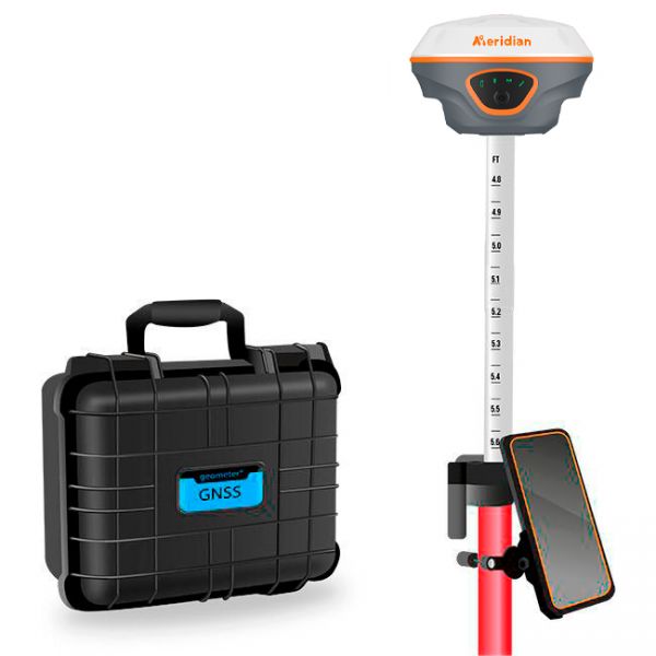
Meridian M20L KIT is a complete professional GNSS RTK equipment kit designed for surveying, cadastral work, construction, topographic mapping, and engineering measurements. The kit combines the advanced Meridian M20L laser GNSS RTK receiver, professional M-Survey software for Android, a rugged 8/128 Gb field smartphone, and a carbon fiber survey pole for maximum comfort and efficiency in field operations.
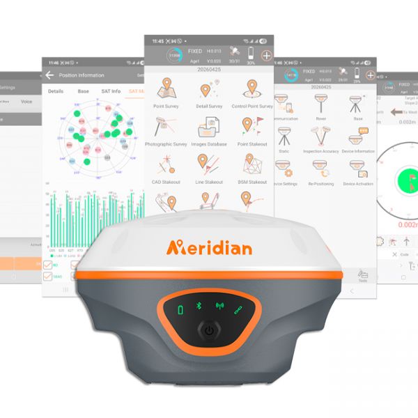
Meridian M20L is a modern next-generation GNSS RTK receiver that combines high-precision GNSS RTK measurements, advanced laser technology, IMU tilt compensation, and an integrated 4G modem for fast and stable field operation. An ideal solution for surveying, cadastral work, construction, and professional mapping.
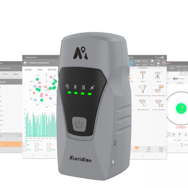
Meridian ML2 is a modern multi-functional GNSS RTK receiver that combines satellite positioning, laser measurement, an IMU inertial system, and 4G mobile connectivity. The receiver is designed for high-precision surveying in locations where using a traditional GNSS survey pole is difficult or impossible.
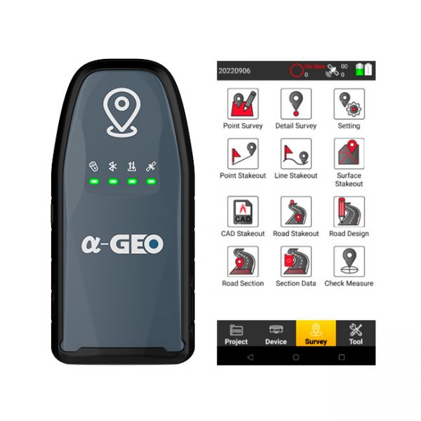
The AlphaGeo GeoPuls is a high-precision RTK receiver that combines advanced GNSS technology with laser measurement, delivering a new level of efficiency in geodetic work.
Modern GNSS RTK receivers with integrated laser technology combine high-precision satellite positioning and laser distance measurement in a single device. The key advantages of this solution include:
- Fast measurement of inaccessible points;
- Reduced fieldwork time;
- Improved operator safety;
- Fewer repeat site visits;
- The ability to work where placing a survey pole is physically impossible;
- High coordinate accuracy when using RTK positioning;
- Versatility across a wide range of surveying and construction applications.
Our specialists will help you choose the right GNSS RTK receiver with laser technology for your specific requirements—whether you work in cadastral surveying, construction, topographic mapping, road engineering, or engineering surveys.
A modern GNSS RTK receiver with an integrated laser rangefinder is an investment in faster, safer, and more efficient surveying, enabling accurate measurements in situations where traditional surveying methods are no longer practical.